WADI’s innovative optical remote sensing concept integrates multi-spectral images and thermographic infrared (TIR) imaging devices running at the optimised detection wavelengths.
This will allow to:
- Detect water leaks precisely thanks to the synergetic use of TIR and multispectral images combined with the data processing (triangle/trapezoid method) for soil moisture evaluation
- Measure soil humidity through optimised wavelengths detection (multispectral for visible, near infrared and long infrared domain for TIR)
- Implement WADI’s service on a wide range of water suppy systems including infrastructures such as dams, reservoirs, pressurised and gravity mains, canals, etc.
The solution developed by the WADI project will be applied on two complementary aerial platforms, i.e. manned and unmanned, typically used for distinctive purposes. The manned aircraft is used in long-distance and important infrastructure monitoring, whereas the unmanned platform is used for surveying water networks with short conduits and areas with difficult access or requiring infrastructure/area scans.
WADI’s service feasibility will be tested in an operational environment in two pilot sites, different for infrastructure type and age, water uses, accessibility, soil plant cover type etc. This variety of conditions will provide an opportunity to demonstrate the full potential of WADI technique in real settings.
PILOT SITES:
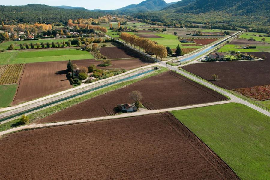
Provence Region, France – Managed by Société Canal de Provence
Société Canal de Provence (SCP) operates and maintains a large scale hydraulic infrastructure totalling 5,500 km of canals, galleries and pipes over a territory of 31,400 square kilometers. Its infrastructure delivers water for cities, industries and irrigation.

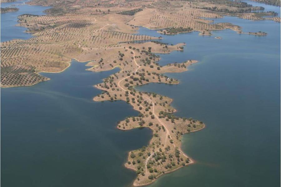
Alqueva, Portugal – Managed by EDIA
The general system consists of 69 dams, reservoirs and weirs, 380 km of primary network, 1,620 km of pipes on the secondary network, 47 pumping stations, five mini-hydroelectric plants and a photovoltaic plant.
