Editorial
Dear Reader,
Welcome to the second issue of WADI Newsletter.
We are Galileo Geosystems, a Spanish company from Valencia working with applied geotechnologies for customers and projects around the world. We transform remote sensing data from satellites and airborne campaigns into geo-information products and services in different fields like agriculture, forestry, civil engineering, heritage or aerial inspections.
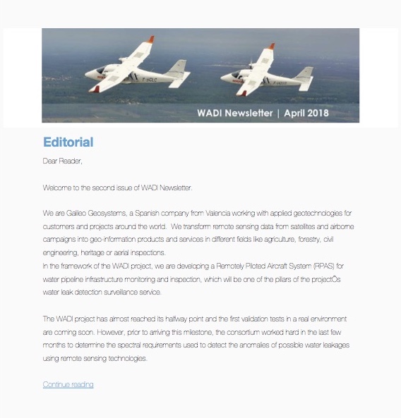
In the framework of the WADI project, we are developing a Remotely Piloted Aircraft System (RPAS) for water pipeline infrastructure monitoring and inspection, which will be one of the pillars of the project’s water leak detection surveillance service.
The WADI project has almost reached its halfway point and the first validation tests in a real environment are coming soon. However, prior to arriving this milestone, the consortium worked hard in the last few months to determine the spectral requirements used to detect the anomalies of possible water leakages using remote sensing technologies. By taking them into account, we selected the multispectral and thermal cameras to be mounted in the RPAS. Adapting and integrating the aforementioned hardware into the system was a difficult process as this also implied the need to re-design the RPAS in order to cope with the generated constraints. Finally, after lots of effort placed into it, the final configuration was tested with a positive turnout. Thus, we can say that we are ready for the coming demonstration flights in France during this summer.
In this issue of the newsletter, you will find the latest news from WADI and from our sister projects of the ICT4Water Cluster. Don’t miss out on the opportunity of receiving first-hand details of the WADI project during the HIC conference 2018 (on July 1-6th in Palermo, Italy), where our scientific coordinator ONERA will present a paper on our project.
Juan Barba & Javier Sanchis
Galileo Geosystems
www.galileogeosystems.com
